Town/City: Battle Ground
Walk Length: 1.1 miles total
Elevation Gain: Minimal
Seasons: Open year-round
Trail surface: Pavement and gravel
Popularity: High on summer weekends
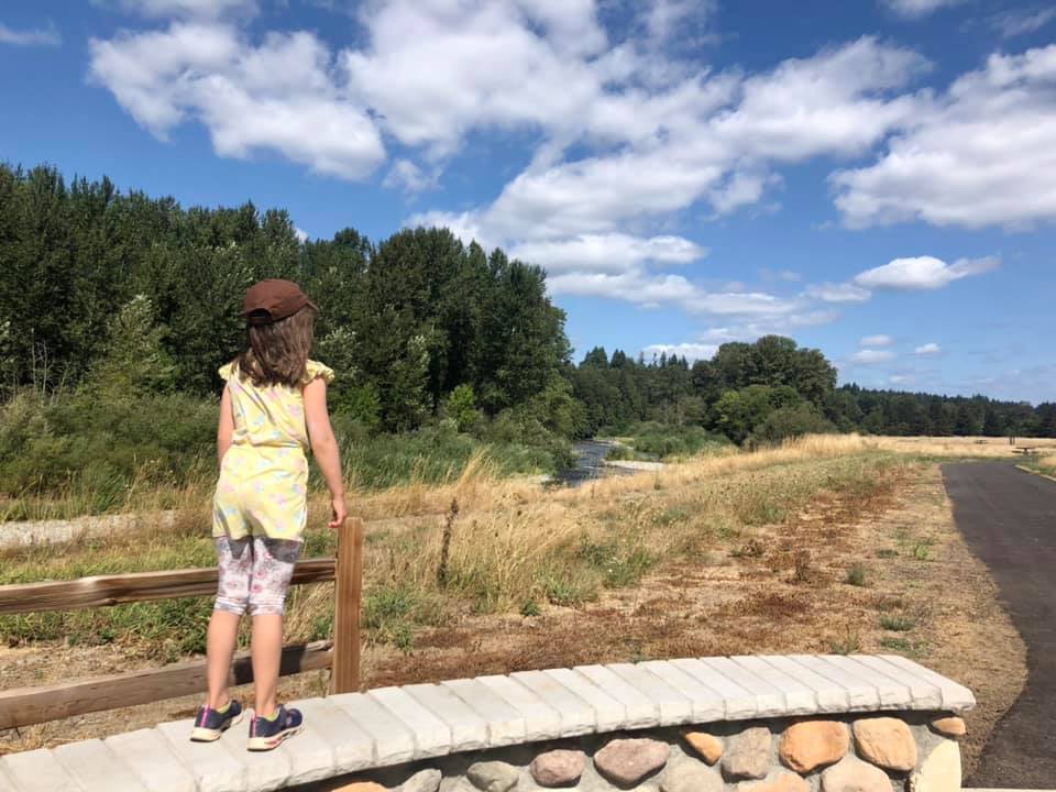
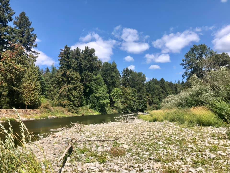
Why Should You Check Out This Walk? This park is a beautiful spot on the East Fork of the Lewis River. In addition to a paved, flat, and accessible trail, there is river access, a playground, and restrooms. The river is very swift most of the year and caution should be used all year long. Thankfully, the path stays clear of the river, although there are paths that take you to the riverbank. This trail is an excellent spot for birdwatching.
Considerations: The trail is great for strollers and young walkers. Young walkers may need help staying on the trail and out of the conservation areas alongside the trail. The trail down to the river is not completely stroller friendly. Extra caution must be used near the water’s edge with all kids.
Ways to Engage Kids:
- Watch for birds
- Watch people float down the river
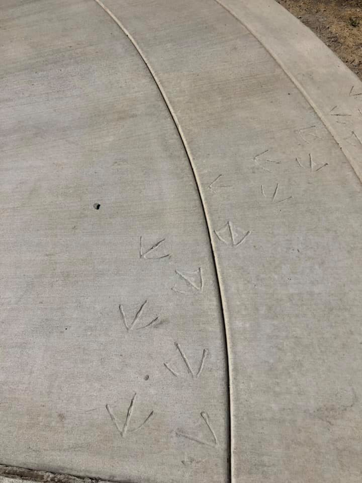
- Look for animal tracks in the cement along the trail
- Play on the playground on the other side of the park
- Learn about riparian areas by reading informational signs
- If you play by the water, wear a flotation device and keep a special eye on little kids near the rushing water
- Look for cloud animals in the sky
- See if you can spot Silver Star Mountain in the distance while looking east
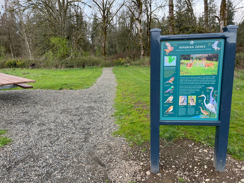
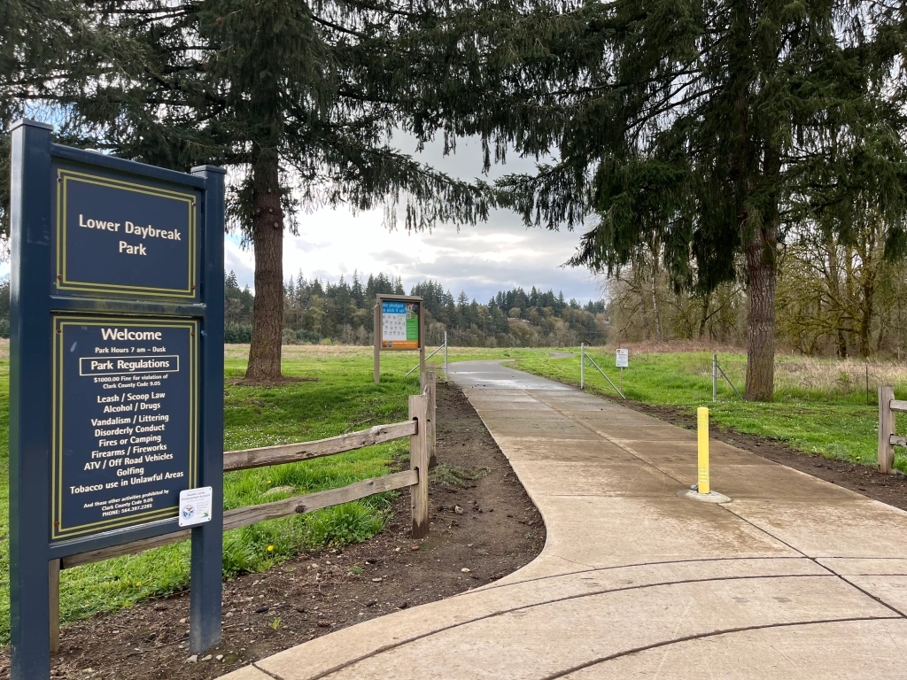
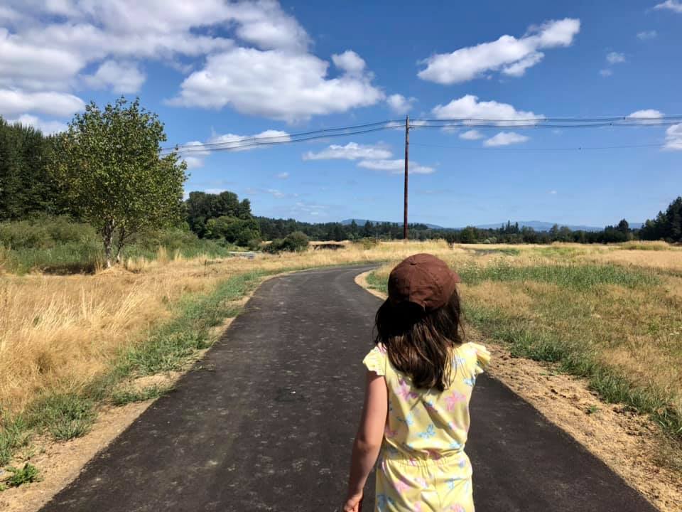
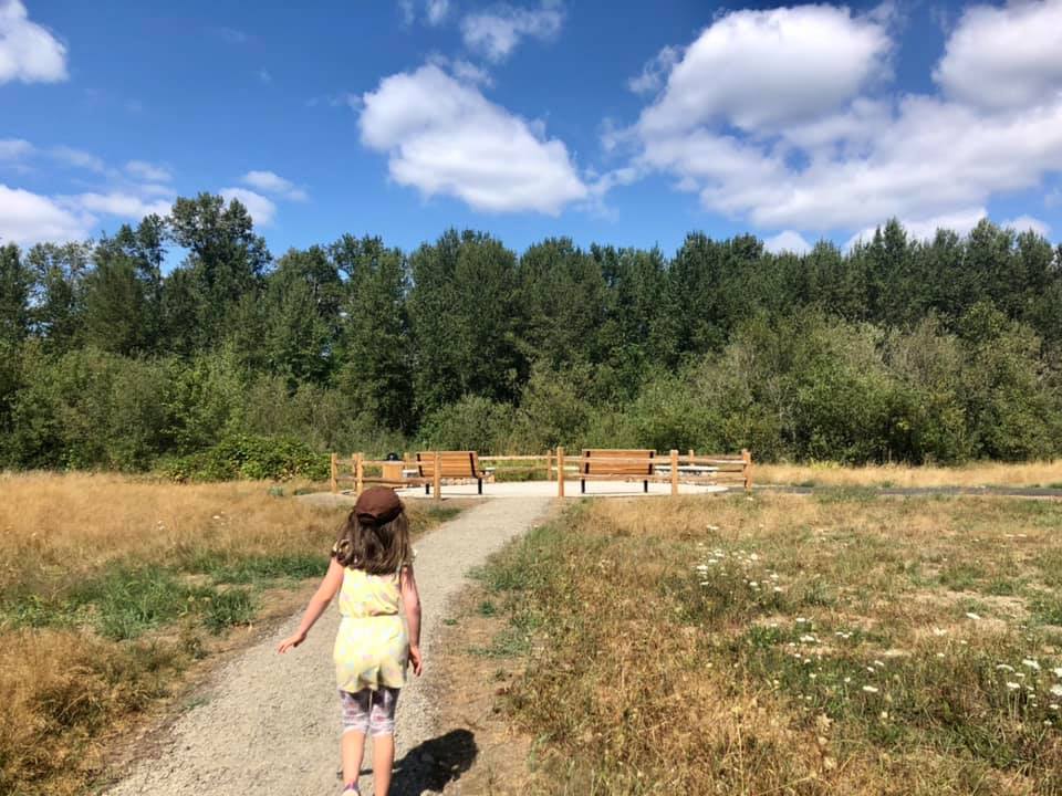
Trail Description: From the Lower Daybreak Trailhead, head west down a paved path. Along the way, you will pass several informational signs and a path (on the right) heading down towards the river. After 0.3 mile, you will see a gravel path going off to the left. Take this to make a short loop around the western part of the park. After 0.3 mile on this gravel trail (0.6 mile into your walk), you will come back to the paved trail at the westernmost part of the trail. Turn right and head back along the paved trail towards the parking area for a 1.1 mile walk.
Important things to know:
Seasons: Year-round; the park gets very busy in the summer
Parking: Free
Website: https://clark.wa.gov/public-works/daybreak-regional-park-and-boat-launch
Dogs okay? Yes, on leash; keep an extra eye on them near the river due to parasite danger (from eating raw fish)
Conveniences: Restrooms and playground on the east side of the park; benches; picnic tables
Restrooms: Located on the east side of the park; access requires crossing or driving across a busy road
Risks specific to the trail: Rushing river near the trail; there is little to no shade on the trail; there may be fishing litter (like hooks) near the river; despite leash laws, you may encounter off-leash dogs
Recommended extra gear: Sun protection; change of clothes and flotation devices if getting near the river
Trailhead GPS coordinates: 45.813233, -122.591274
Parking Directions: If coming from the south on NE 82nd Avenue, turn left into the Daybreak Park Boat Launch area before crossing over the East Fork Lewis River. The trailhead is on the west side of the parking area.
