I recently contributed to Vancouver Family Magazine with an article highlighting some excellent trails for spring hiking with kids.
Check out the post here!
I recently contributed to Vancouver Family Magazine with an article highlighting some excellent trails for spring hiking with kids.
Check out the post here!

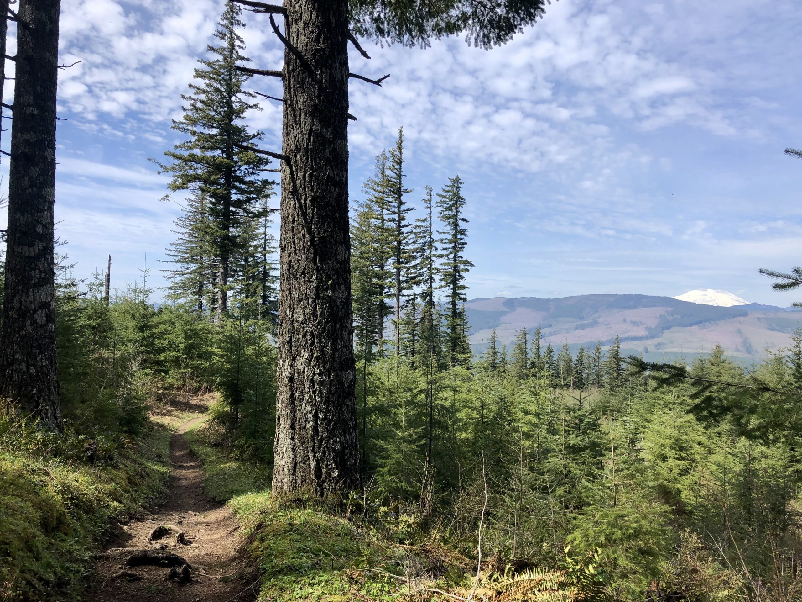
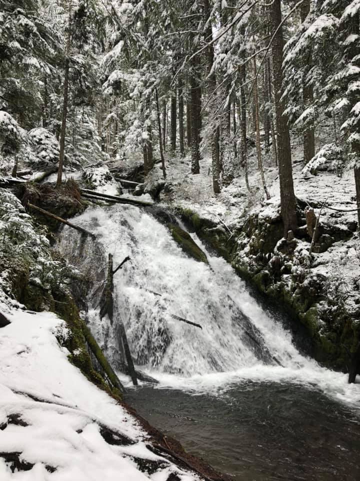
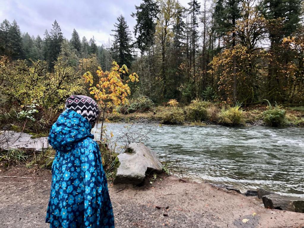
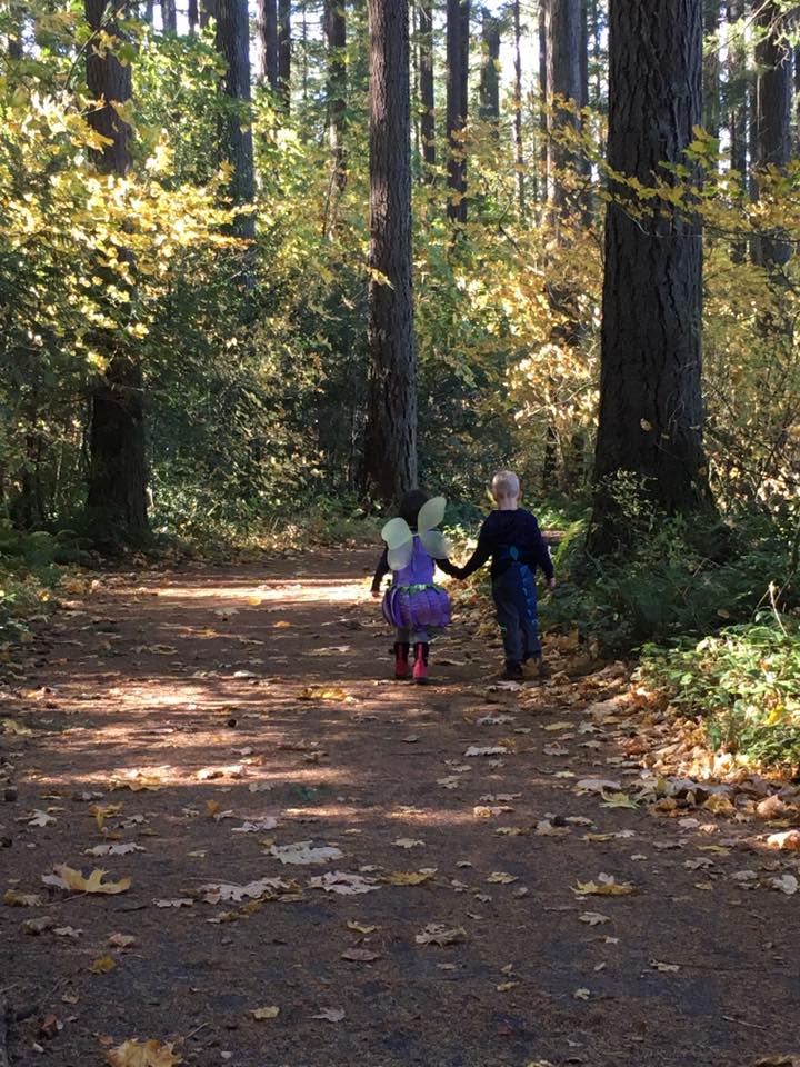
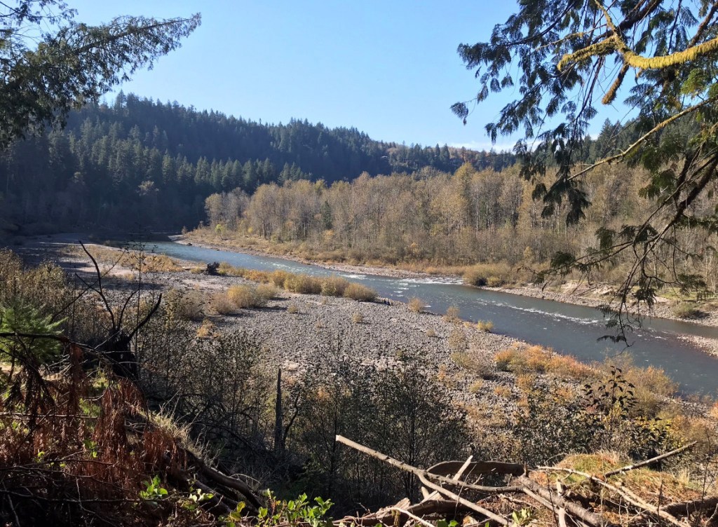
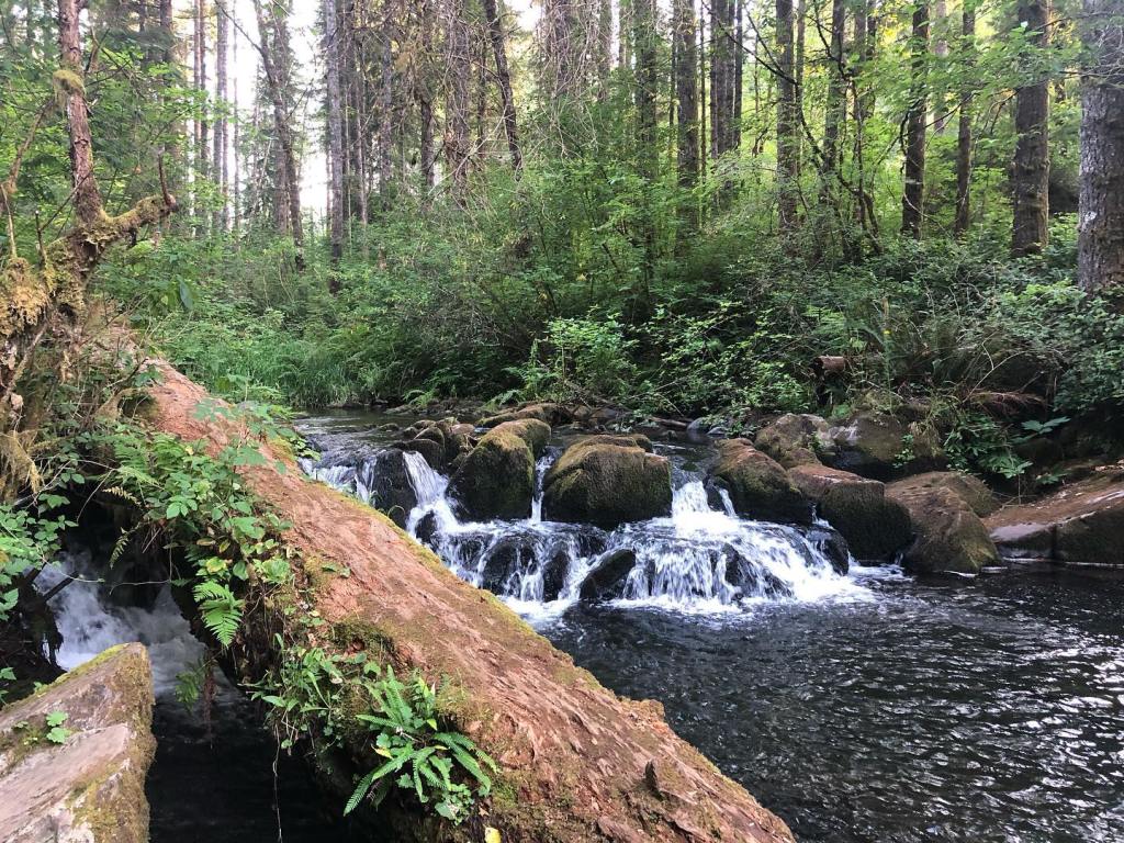
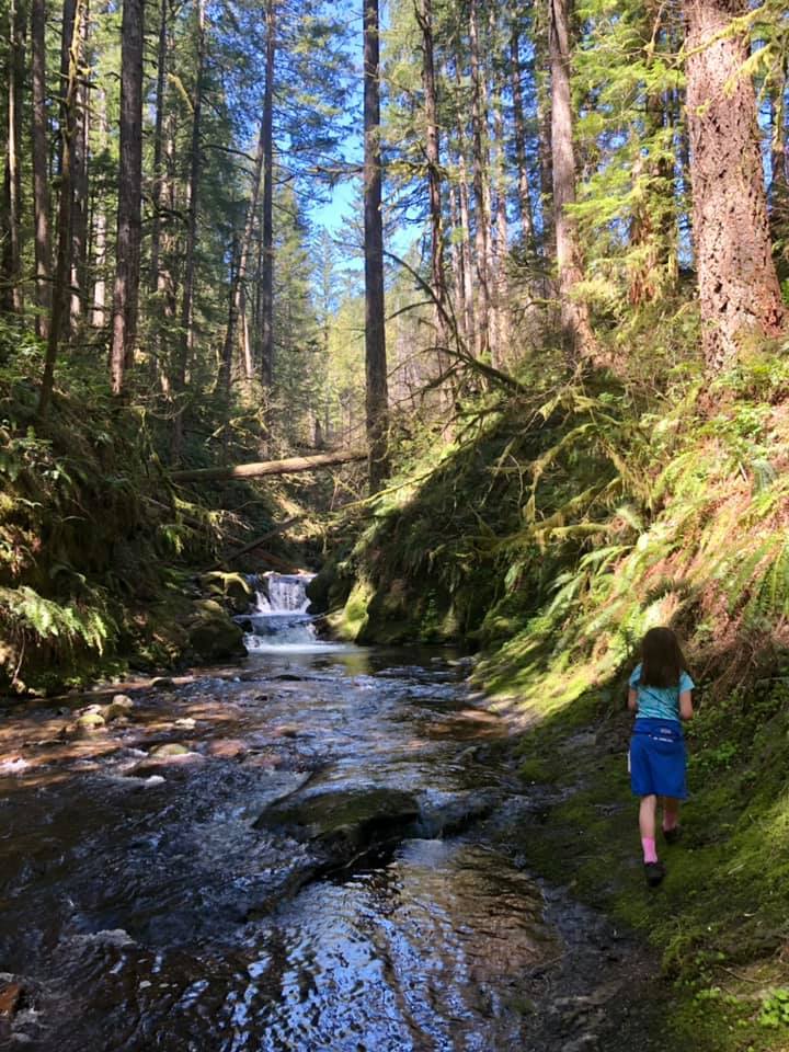
Spring is such a mixed bag around here. In a given year, we can have snow, ice, rain, hail, and sunshine. Spring in the PNW means wildflowers are popping up everywhere, the waterways are full, and temperatures are (should be??) warming up.

It can be hard to know where to hike in the spring since the weather is constantly changing and snow levels are still quite low. Urban trails, as well as the local national wildlife refuges are usually a good bet with their low elevation and migratory bird excitement. Hikes in the Gorge, as well as most hikes below 2,000 feet are a good bet in spring.

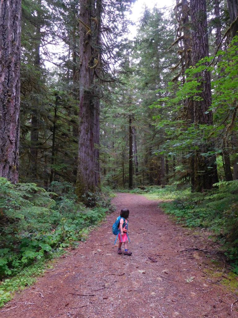
While I can’t fully prepare you for spring hiking, below are a few tips on how to hike with your kids in spring:

Now that you know how to hike in spring, how do you know where to hike with your family? No worries, I’ve got you covered. I’ve compiled my favorite spring hikes by book. Check them out below.
For springtime kid-friendly hikes in the Portland area, visit this page.
For springtime kid-friendly hikes in the Mt. St. Helens, Southwest Washington, Vancouver, and Clark County areas, visit this page.
For springtime kid-friendly hikes in the Columbia River Gorge, visit this page.
For springtime kid-friendly hikes in the Mt. Hood area, stay tuned for a future post.
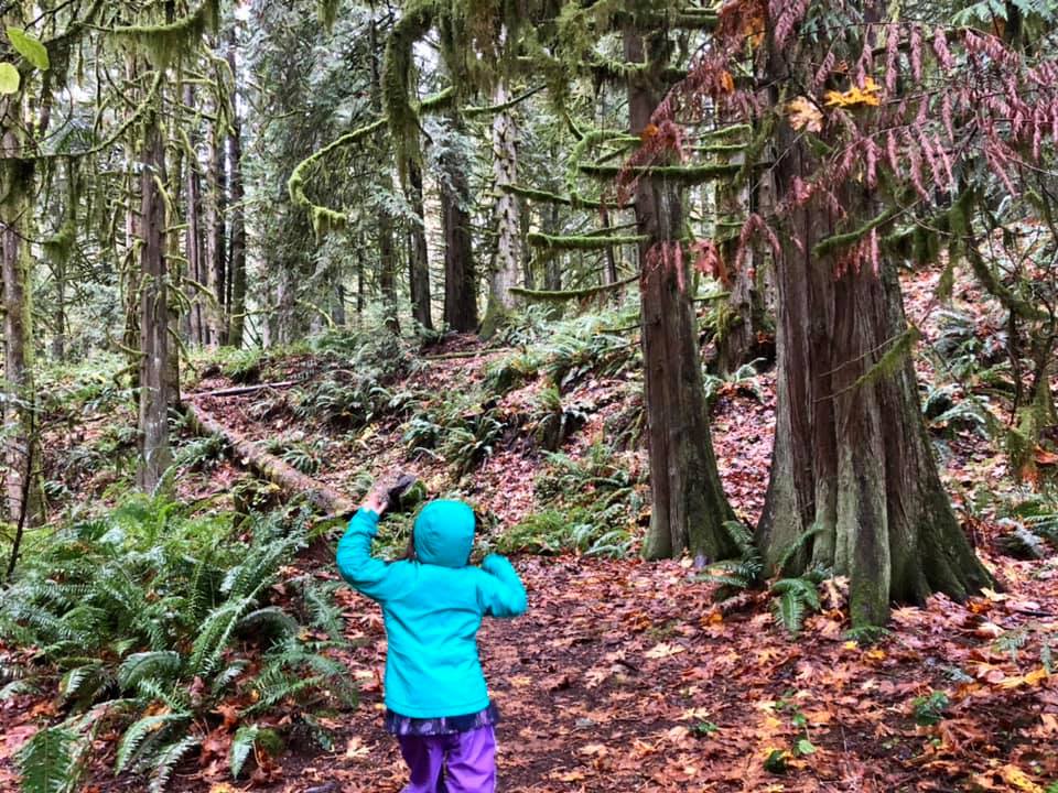
We all spend a lot of time indoors during our wet Pacific Northwest winters. However, with the right gear and knowledge, you can make winter one of your favorite hiking seasons. Trails are less crowded, migratory birds are in the area, and waterfalls are full. That said, weather can be unpredictable, trails can be muddier, and there may be road hazards.
little feet hiking books have some great information on hiking in the winter. Read on for mom-tested tips on where to hike with kids in the winter, as well as ideas on how to hike safely with kids. Remember that you don’t have to travel far from home or spend a ton of time hiking to make it worthwhile. Even a short hike during the winter can be restorative and meaningful!

For winter hiking with kids, it can be good to stay lower in elevation, closer to cell service, and away from fire-damaged areas. It’s also a great idea to:
Now that you’ve learned a bit on how to hike in the winter, how do you know where to hike with your family? Thankfully, I’ve compiled my favorite winter hikes by book. Check them out below!

Hike 4 in little feet hiking: Steigerwald National Wildlife Refuge

Winter may feel a bit sleepy, but the jogging stroller friendly trail at Steigerwald takes you through an area busy with lots of wildlife. On any given winter day, you could encounter deer, birds of prey, ducks, geese, insects, and more. There are also Mt. Hood and Columbia River views. You can hike as little as 2 miles round trip to get a great nature experience, but there are also miles to add on once you connect to the Columbia River Dike Trail. This trail is a family favorite – just be prepared for the possibility of lots of wind while hiking here.
Hike 9 in little feet hiking: Ridgefield National Wildlife Refuge – Oaks to Wetlands Trail

Winter is the best time to visit the refuge because of all the migratory birds! You don’t have to walk very far on this easy 2 mile out-and-back trail to see and hear the noisy and beautiful swans that flew south (to our area) for the winter. Along the trail, you may even come across deer, birds of prey, ducks, and more. Bring a pair of binoculars and be sure to stop to read any interpretive signs. Consider a drive on the nearby Auto Tour Route to see even closer-up views of winter waterfowl and birds of prey. There is a fee to park.
Hike 16 in little feet hiking: Bells Mountain Trail from Cold Creek Day Use Area

This hike in the Yacolt Burn State Forest is only 27 miles from downtown Vancouver, yet it feels like it is deep in the wilderness. I love this trail in the winter because there is such a deep forest feel that is even more special in the rain. There is so much green from the trees that you totally forget that the skies are gray, and the sound of the rushing creek is quite soothing. The trailhead is down a gravel road, and there is no cell service, so you’ll need to plan to be a little off the grid. A WA Discover Pass is required to park.
Hike 8 in little feet hiking two: La Center Bottoms
La Center Bottoms is an excellent place for birdwatching, especially for migratory swans and pintail ducks. The trail can be a little muddy, especially when the gravel/dirt trail turns to dirt after the first half mile. You can continue on a dirt trail for another half mile for a 2 mile total round-trip hike. Favorite parts of this trail include multiple bird blinds and fun statues near the trailhead.
Hike 10 in little feet hiking two: Tarbell Trail from Rock Creek Campground
Our family loves this trail as it is rarely busy, there are always cool things to see, and we sometimes see horses! The trail starts out by crossing the creek on a long bridge, hiking through pretty forest (with some impressive nurse logs), and then taking you through a young forest that feels like a wild holiday tree farm. It has been neat to watch the trees grow on this trail over the last 10 years. There are also a lot of large cut stumps that allow for learning about dendrochronology (the study of tree rings). A WA Discover Pass is required to park.
Hike 19 in little feet hiking two: Lacamas Lower Falls
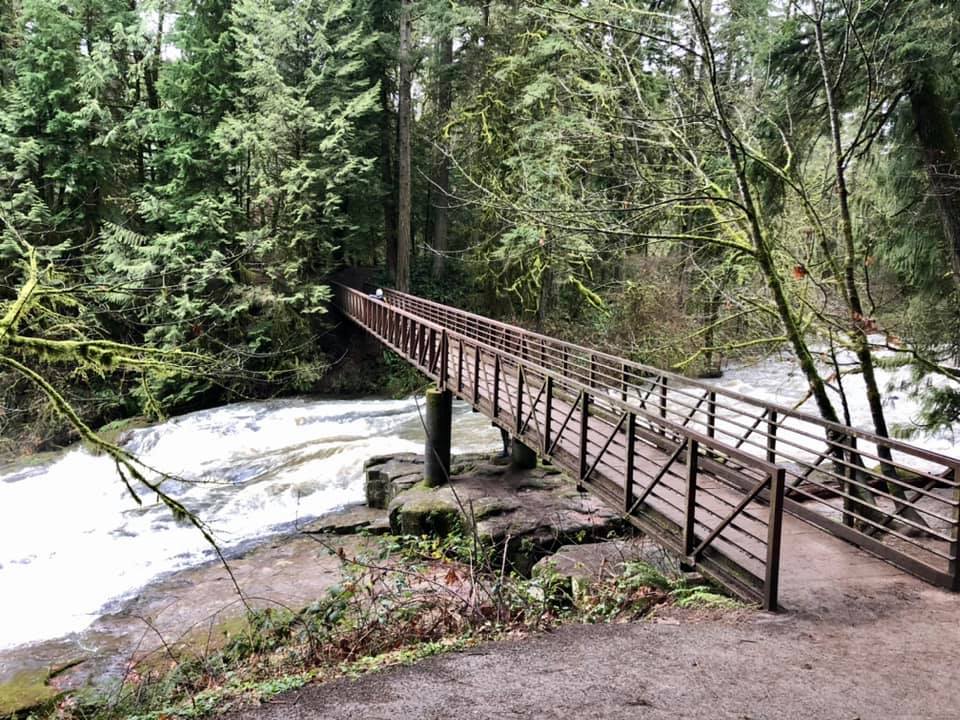
In the winter, there is a lot of water flowing through Lacamas Park and over Lower Falls, which makes it really cool to hike to the falls this time of year. Between the pretty forest, the downed logs that are perfect for climbing, the wide stroller-friendly trail, and the bridge over the rushing creek, it’s a fantastic place to hike with kids. My favorite part of the trail, though, is the rocks. Did you know they are millions of years old? Learn more about that in my book.

Hike 1 in little feet hiking: Mt. Hood: Little Zigzag Falls
The short hike to Little Zigzag Falls is great any time of the year, but my family really enjoys it when there is just a touch of snow on the ground. The trailhead sits just above 3,000 feet in elevation, so the trail has snow much of the winter. I’m not a huge fan of driving in snow or ice, but the access to this particular trailhead is less challenging than other higher-elevation Mt. Hood hikes. Be sure to read up on winter driving, and follow chain rules. As always, come prepared with your essentials and anything else you might need for a cold, icy/snowy adventure. Thankfully, there is a traffic camera on Highway 26 right by the trailhead. Find the traffic camera for Highway 26 at USFS Rd 35 here.
Hike 4 in little feet hiking: Mt. Hood: Wildwood Recreation Area Trails

I love hiking at Wildwood Recreation Area on a rainy day! This awesome BLM recreation area has several miles of flat, kid-friendly trails (most of which are paved or boardwalk) and is located on the west slope of Mt. Hood. This spot is at about 1,200 feet, which means that it should stay snow-free most of the winter. When visiting, be sure to check out the relief map, the river beach, the naturalist exhibits on the boardwalk, and the awesome nurse logs along the paths. FYI, some of the boardwalks can be slippery when wet! There is a fee to park.
Hike 6 in little feet hiking: Mt. Hood: Old Salmon River Trail

If you’ve ever wanted to hike through a fairy forest, the Old Salmon River Trail in Welches is the place to visit. You can hike up to 3.8 miles out-and-back along the river through a mossy old-growth forest. There are multiple parking areas and every section of this trail is beautiful. Plan on playing by the riverbank and climbing on and hugging massive trees. Keep an eye on kids around drop-offs and the swift river. This hike is accessible most of the year, as long as snow levels aren’t too low.

Hike 2 in little feet hiking: Columbia River Gorge: Columbia River Dike Trail

The Columbia River Dike Trail is a popular trail, but you will find fewer crowds in the winter. Winter is a fantastic time to hike, especially on cold, sunny days. Kids always seem to enjoy checking out the interpretive signs, hanging out in the dugout canoe replicas, climbing on low-hanging trees, and birdwatching. You might even see horses along the trail. Look for a view of Mt. Hood to the east on sunny days, and be prepared for windier conditions along the river.
Hike 4 in little feet hiking: Columbia River Gorge: Latourell Falls

We love this hike because you can hike right up to two waterfalls on a somewhat challenging 2.4 mile loop hike. This hike is a Gorge treasure and is appropriate for kids who can navigate steep trails that are slippery when wet and are narrow with drop-offs. There are great Gorge views as well as fun trees to climb on and walk through. Be prepared for the cold sensations of waterfall spray as you make your way around the loop. The trail can get muddy, so use caution near cliff edges. This is one of the few hikes on the Oregon side of the Western Gorge that has not been affected by the 2017 Eagle Creek Fire. Fire-stricken areas are prone to dangerous mudslides during times of heavy rain, ice, and snow. That said, you still need to pay attention to recent weather events, as they can still destabilize any of the slopes in the Gorge.
Hike 38 in little feet hiking: Columbia River Gorge: Rowena Plateau
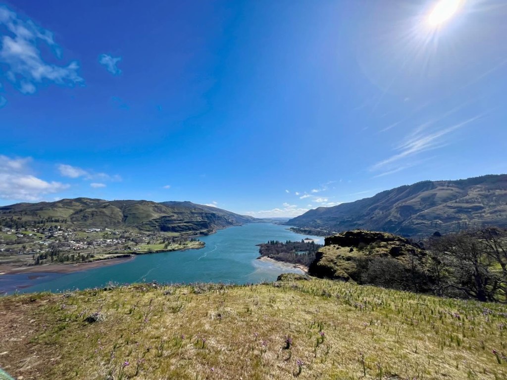
This hike is one of the best in the eastern Gorge for late winter wildflowers. This nature preserve has amazing Gorge views and reliably has purple and white grass widows blooming in late February. In general, the area sees more sunshine in winter due to the rain shadow effect, making its a great destination for the winter blues. Just remember to check the latest forecasts, as the Gorge is prone to ice storms and low-elevation snow during the winter. Please respect this Nature Conservancy property by keeping your pets at home, staying on the trail, not picking the flowers, and using the boot brush at the beginning of the hike. As always when hiking in this part of the Gorge, keep an eye out for poison oak and ticks.

Hike 1 in little feet hiking: Portland Metro: Central Forest Park Loop

Most people know about amazing Forest Park, but it is hard to know where in the park to hike with kids. This fun loop takes you through a less-crowded section of Forest Park. On your hike, you’ll encounter pretty forest and lots of muddy track traps to help you track any wild animals that may have traversed the trail earlier. Read more about animal track and track traps in my book.
Hike 32 in little feet hiking: Portland Metro: Hopkins Demonstration Forest

Hopkins Demonstration Forest is a lovely 140-acre privately owned forest near Beavercreek that is open to the public for hiking. There is a variety of trails here that take you past a pond, a creek, a log house, a fire lookout, and more. There are also interpretive features that teach out about the various habitats onsite. I like this property in the winter because there is so much green by way of fir needles, ferns, and other evergreen plants. There isn’t great cell service here, so make sure you know the way before leaving town.
Hike 44 in little feet hiking: Portland Metro: Cooper Mountain Nature Park

This Metro park is a fantastic place to hike in winter. You’ll often encounter deer amongst the oak savannah and ponderosa pines, and there are interpretive signs along the trail. On a sunny day, you can even spy a view of Mt. Hood. You can hike up to 3.2 miles, and there are some hills to get your blood pumping. Leave some time at the end of your hike to play on the nature playground. No dogs are allowed at this park.
I hope you have a wonderful winter season out on the trails. Be safe and have fun! Be sure to follow little feet hiking on Facebook and Instagram for trip reports.
We all spend a lot of time indoors during our wet Pacific Northwest winters. However, with the right gear and knowledge, you can make winter one of your favorite hiking seasons. Trails are less crowded, migratory birds are in the area, and waterfalls are full. That said, weather can be unpredictable, trails can be muddier, and there may be road hazards.
little feet hiking books have some great information on hiking in the winter. Read on for mom-tested tips on where to hike with kids in the winter, as well as ideas on how to hike safely with kids. Remember that you don’t have to travel far from home or spend a ton of time hiking to make it worthwhile. Even a short hike during the winter can be restorative and meaningful!
For winter hiking with kids, it can be good to stay lower in elevation, closer to cell service, and away from fire-damaged areas. It’s also a great idea to:
Now that you’ve learned a bit on how to hike in the winter, how do you know where to hike with your family? Thankfully, I’ve compiled my favorite winter hikes by book. Check them out below!
Hike 4 in little feet hiking: Steigerwald National Wildlife Refuge
Winter may feel a bit sleepy, but the jogging stroller friendly trail at Steigerwald takes you through an area busy with lots of wildlife. On any given winter day, you could encounter deer, birds of prey, ducks, geese, insects, and more. There are also Mt. Hood and Columbia River views. You can hike as little as 2 miles round trip to get a great nature experience, but there are also miles to add on once you connect to the Columbia River Dike Trail. This trail is a family favorite – just be prepared for the possibility of lots of wind while hiking here.
Hike 9 in little feet hiking: Ridgefield National Wildlife Refuge – Oaks to Wetlands Trail
Winter is the best time to visit the refuge because of all the migratory birds! You don’t have to walk very far on this easy 2 mile out-and-back trail to see and hear the noisy and beautiful swans that flew south (to our area) for the winter. Along the trail, you may even come across deer, birds of prey, ducks, and more. Bring a pair of binoculars and be sure to stop to read any interpretive signs. Consider a drive on the nearby Auto Tour Route to see even closer-up views of winter waterfowl and birds of prey. There is a fee to park.
Hike 16 in little feet hiking: Bells Mountain Trail from Cold Creek Day Use Area
This hike in the Yacolt Burn State Forest is only 27 miles from downtown Vancouver, yet it feels like it is deep in the wilderness. I love this trail in the winter because there is such a deep forest feel that is even more special in the rain. There is so much green from the trees that you totally forget that the skies are gray, and the sound of the rushing creek is quite soothing. The trailhead is down a gravel road, and there is no cell service, so you’ll need to plan to be a little off the grid. A WA Discover Pass is required to park.
Hike 8 in little feet hiking two: La Center Bottoms
La Center Bottoms is an excellent place for birdwatching, especially for migratory swans and pintail ducks. The trail can be a little muddy, especially when the gravel/dirt trail turns to dirt after the first half mile. You can continue on a dirt trail for another half mile for a 2 mile total round-trip hike. Favorite parts of this trail include multiple bird blinds and fun statues near the trailhead.
Hike 10 in little feet hiking two: Tarbell Trail from Rock Creek Campground
Our family loves this trail as it is rarely busy, there are always cool things to see, and we sometimes see horses! The trail starts out by crossing the creek on a long bridge, hiking through pretty forest (with some impressive nurse logs), and then taking you through a young forest that feels like a wild holiday tree farm. It has been neat to watch the trees grow on this trail over the last 10 years. There are also a lot of large cut stumps that allow for learning about dendrochronology (the study of tree rings). A WA Discover Pass is required to park.
Hike 19 in little feet hiking two: Lacamas Lower Falls
In the winter, there is a lot of water flowing through Lacamas Park and over Lower Falls, which makes it really cool to hike to the falls this time of year. Between the pretty forest, the downed logs that are perfect for climbing, the wide stroller-friendly trail, and the bridge over the rushing creek, it’s a fantastic place to hike with kids. My favorite part of the trail, though, is the rocks. Did you know they are millions of years old? Learn more about that in my book.
Hike 1 in little feet hiking: Mt. Hood: Little Zigzag Falls
The short hike to Little Zigzag Falls is great any time of the year, but my family really enjoys it when there is just a touch of snow on the ground. The trailhead sits just above 3,000 feet in elevation, so the trail has snow much of the winter. I’m not a huge fan of driving in snow or ice, but the access to this particular trailhead is less challenging than other higher-elevation Mt. Hood hikes. Be sure to read up on winter driving, and follow chain rules. As always, come prepared with your essentials and anything else you might need for a cold, icy/snowy adventure. Thankfully, there is a traffic camera on Highway 26 right by the trailhead. Find the traffic camera for Highway 26 at USFS Rd 35 here.
Hike 4 in little feet hiking: Mt. Hood: Wildwood Recreation Area Trails
I love hiking at Wildwood Recreation Area on a rainy day! This awesome BLM recreation area has several miles of flat, kid-friendly trails (most of which are paved or boardwalk) and is located on the west slope of Mt. Hood. This spot is at about 1,200 feet, which means that it should stay snow-free most of the winter. When visiting, be sure to check out the relief map, the river beach, the naturalist exhibits on the boardwalk, and the awesome nurse logs along the paths. FYI, some of the boardwalks can be slippery when wet! There is a fee to park.
Hike 6 in little feet hiking: Mt. Hood: Old Salmon River Trail
If you’ve ever wanted to hike through a fairy forest, the Old Salmon River Trail in Welches is the place to visit. You can hike up to 3.8 miles out-and-back along the river through a mossy old-growth forest. There are multiple parking areas and every section of this trail is beautiful. Plan on playing by the riverbank and climbing on and hugging massive trees. Keep an eye on kids around drop-offs and the swift river. This hike is accessible most of the year, as long as snow levels aren’t too low.
Hike 2 in little feet hiking: Columbia River Gorge: Columbia River Dike Trail
The Columbia River Dike Trail is a popular trail, but you will find fewer crowds in the winter. Winter is a fantastic time to hike, especially on cold, sunny days. Kids always seem to enjoy checking out the interpretive signs, hanging out in the dugout canoe replicas, climbing on low-hanging trees, and birdwatching. You might even see horses along the trail. Look for a view of Mt. Hood to the east on sunny days, and be prepared for windier conditions along the river.
Hike 4 in little feet hiking: Columbia River Gorge: Latourell Falls
We love this hike because you can hike right up to two waterfalls on a somewhat challenging 2.4 mile loop hike. This hike is a Gorge treasure and is appropriate for kids who can navigate steep trails that are slippery when wet and are narrow with drop-offs. There are great Gorge views as well as fun trees to climb on and walk through. Be prepared for the cold sensations of waterfall spray as you make your way around the loop. The trail can get muddy, so use caution near cliff edges. This is one of the few hikes on the Oregon side of the Western Gorge that has not been affected by the 2017 Eagle Creek Fire. Fire-stricken areas are prone to dangerous mudslides during times of heavy rain, ice, and snow. That said, you still need to pay attention to recent weather events, as they can still destabilize any of the slopes in the Gorge.
Hike 38 in little feet hiking: Columbia River Gorge: Rowena Plateau
This hike is one of the best in the eastern Gorge for late winter wildflowers. This nature preserve has amazing Gorge views and reliably has purple and white grass widows blooming in late February. In general, the area sees more sunshine in winter due to the rain shadow effect, making its a great destination for the winter blues. Just remember to check the latest forecasts, as the Gorge is prone to ice storms and low-elevation snow during the winter. Please respect this Nature Conservancy property by keeping your pets at home, staying on the trail, not picking the flowers, and using the boot brush at the beginning of the hike. As always when hiking in this part of the Gorge, keep an eye out for poison oak and ticks.
Hike 1 in little feet hiking: Portland Metro: Central Forest Park Loop
Most people know about amazing Forest Park, but it is hard to know where in the park to hike with kids. This fun loop takes you through a less-crowded section of Forest Park. On your hike, you’ll encounter pretty forest and lots of muddy track traps to help you track any wild animals that may have traversed the trail earlier. Read more about animal track and track traps in my book.
Hike 32 in little feet hiking: Portland Metro: Hopkins Demonstration Forest
Hopkins Demonstration Forest is a lovely 140-acre privately owned forest near Beavercreek that is open to the public for hiking. There is a variety of trails here that take you past a pond, a creek, a log house, a fire lookout, and more. There are also interpretive features that teach out about the various habitats onsite. I like this property in the winter because there is so much green by way of fir needles, ferns, and other evergreen plants. There isn’t great cell service here, so make sure you know the way before leaving town.
Hike 44 in little feet hiking: Portland Metro: Cooper Mountain Nature Park
This Metro park is a fantastic place to hike in winter. You’ll often encounter deer amongst the oak savannah and ponderosa pines, and there are interpretive signs along the trail. On a sunny day, you can even spy a view of Mt. Hood. You can hike up to 3.2 miles, and there are some hills to get your blood pumping. Leave some time at the end of your hike to play on the nature playground. No dogs are allowed at this park.
I hope you have a wonderful winter season out on the trails. Be safe and have fun! Be sure to follow little feet hiking on Facebook and Instagram for trip reports.
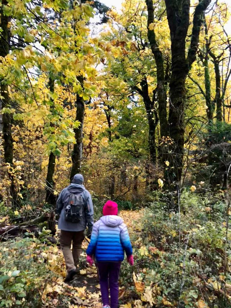
Fall is personally my favorite season in the Pacific Northwest. The snow level tends to hang high enough into early October to still get up into the mountains, and the mushrooms and changing leaves can be so colorful. We also get to enjoy less-rainy outdoors adventures with less heat, less smoke, and fewer mosquitoes. My favorite part, however, is all the opportunities to see salmon spawning.
little feet hiking books have some great information on hiking in the fall. Read on for mom-tested tips on where to hike with kids in the fall, as well as how to hike safely with kids.

What makes hiking in the fall so special?
Here are a few tips for fall hiking:
Now that you know how to hike in the fall, how do you know where to hike with your family? No worries, I’ve got you covered. I’ve compiled my favorite fall hikes by book. Check them out below.
Hike 1 in little feet hiking: Vancouver Lake North Trail

I love this hike for the falling heart-shaped cottonwood leaves and the chance to see birds preparing for winter. Leaves start changing colors in mid-October and are usually off the trees by mid-November. This 2.5 mile hike is appropriate for new hikers through adults.
Hike 5 in little feet hiking: Lucia Falls Regional Park

Lucia Falls is a year-round favorite for our family, but we especially love it in October for the salmon run. Check out this video and this post to see salmon jumping there in October. Along this short hike, you will also see lovely changing falls colors and neat mushrooms. Consider visiting on a weekend in October so you can check out Pomeroy Farm’s Pumpkin Lane after your hike. This 1 mile hike is appropriate for all ages, although littles will need help staying away from the rocks and walking through the parking lot.
Hike 7 in little feet hiking: Whipple Creek

The forest at Whipple Creek Regional Park is such an urban oasis for the area. The forest is beautiful year-round, but especially mid-October to mid-November when the big-leaf maple tree leaves fall. The trail itself is okay for all ages, but littles will need help if you encounter horses. The trails can be a bit confusing, so check out the 1 to 2.4 mile routes outlined in the book.
Hike 10 in little feet hiking: Cape Horn Upper Trailhead Hike
The Cape Horn area of the Columbia River Gorge is one of the best places to see fall colors. The problem is that most of the area isn’t too kid-friendly due to drop-offs. In little feet hiking, I’ve outlined a more kid-friendly 1 mile hike to a walled overlook of the Gorge. For a longer hike to this same spot, check out the Cape Horn hike in little feet hiking: Columbia River Gorge.
Hike 13 in little feet hiking: Whistle Punk Trail

The Whistle Punk trail is located in the Gifford Pinchot National Forest near Carson, so it requires a little bit of a drive. However, the drive through the Gorge and into the forest is quite lovely, and this trail also features some neat historical equipment interspersed throughout the forest. Consider tacking on a trip to the Bonneville Fish Hatchery to see adult fall Chinook and coho salmon spawning. This 1.9 mile hike is appropriate for all ages.
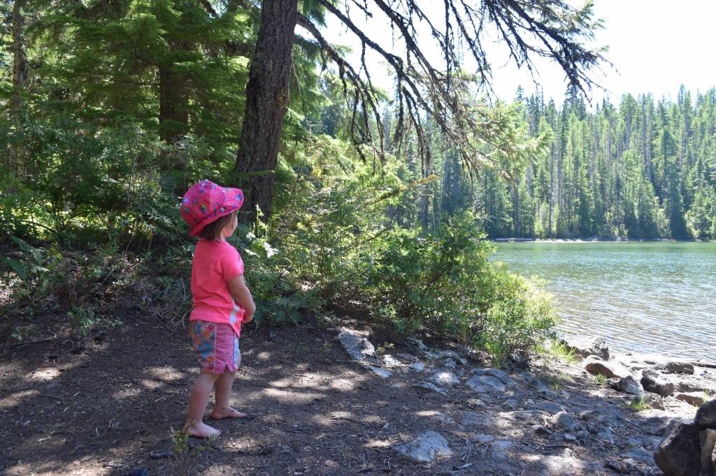
Hike 15 in little feet hiking: Thomas Lake

The 1.8 to 4 mile hike on the Thomas Lake trail is one of my absolute favorites in the fall. It is hard to hike into the Indian Heaven Wilderness most of the year due to snow and heavy mosquito populations. Late September into October is perfect up there – you’ll encounter pretty fall colors, cool and crisp weather, colorful mushrooms to identify, and maybe even some lingering huckleberries. The drivetime to the trail is longer than other hikes in the book, but this one is worth it.
Hike 20 in little feet hiking: Goat Marsh Lake

The 2.4 mile round trip hike to Goat Marsh Lake is one of my favorite hikes on the south side of Mt. St. Helens. In addition to hiking through ancient lava flows, you’ll have a chance to see an epic view of the volcano. Fall is special in this spot because the mosquitoes have died down (it is a marsh after all), and you are likely to see lots of frogs and colorful mushrooms.
Hike 23 in little feet hiking: Summit Springs
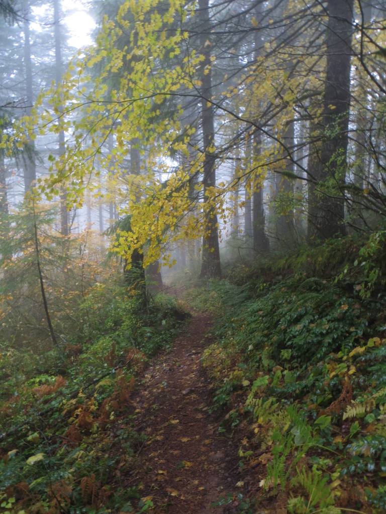
This 3 mile off-the-beaten-path hike doesn’t have any grand vistas, but the forest is so quiet and the fall colors in October and November are quite pretty. The hike is especially cool in foggy weather. This hike is doable for any kid that can deal with steady elevation gain, hike safely on a gravel road for a few minutes, and can either cross independently or be carried over some minor water crossings.
Hike 1 in little feet hiking two: CASEE Trails

The CASEE trails are the perfect place for a mellow fall hike with your family. On the 1.1 mile hike, you’ll walk through an arboretum with many native and non-native deciduous trees, and then you’ll dip into a native fir forest full of neat and interesting mushrooms.
Hike 9 in little feet hiking two: Battle Ground Lake Loop

Battle Ground Lake State Park is a busy place in summer, so I like to visit in the fall when leaves are changing and crowds are sparse. Hiking around the lake also provides an opportunity for some place-based learning. You can learn about the volcanic origins of this lake in my second hiking book. Littles may find this trail challenging at times due to rocks on the trail – and then there is the lake:)
Hike 12 in little feet hiking two: Fort Cascades Historic Site

This short, flat hike is another place where place-based learning can occur. This hike not only has tons of historical connections, but you also get some neat views of Bonneville Dam. Consider hiking this trail in November for fall colors and to honor Native American Heritage Month. Along the trail, you will find signposts that correlate with an online brochure detailing what each signpost. Unfortunately, much of the information you will find about this trail focuses on the western settlers and how they built forts to protect the portage from the people who once lived here. Before this land was taken in the 1850’s, the Fort Cascades Loop Trail was occupied by members of the Watlala and Cowlitz tribes. Before or after your hike, educate your kids on the people who lived here before it was taken. While this trail works for all ages, littles will need help staying off the historical equipment.
Hike 17 in little feet hiking two: Placid Lake

This hike takes you to subalpine meadows with a lovely lake. Late September and early October are the best time to hike if you want to see changing fall colors and colorful mushrooms (look, don’t touch!). Keep an eye on changing snow levels as the trailhead is located at 4,100 feet. This trail is appropriate for all ages.
Hike 20 in little feet hiking two: Lewisville Park
If you’re looking for fall colors, look no further than the 2.8 mile trail at Lewisville Park in Battle Ground! This easy trail is practically empty on a cold, wet day. Just keep your kids far away from the rushing, swollen East Fork Lewis River.
Hike 22 in little feet hiking two: Ape Cave Surface Trail

October is a fantastic time to hike the Ape Cave surface trail. The vine maple leaves are changing to a vibrant red, fun mushrooms start popping up in the forest, and you can hike along the trail through the lava fields without getting overheated. You can also explore the cave with smaller crowds (I recommend the lower cave for kids). Timed parking reservations are still required. I would avoid this with littles because it is easy to get scraped up on the lava field or fall in hole.
Hike 3 in little feet hiking: Mt. Hood: Barlow Wayside

Barlow Wayside is a lovely place to see changing fall colors, but it is also known as a great place to watch spawning salmon late September to early December.. You can learn about where to look for the salmon in my Mt. Hood hiking guide. This hike is appropriate for all ages, but you will want to keep littles out of the creek to protect the salmon.
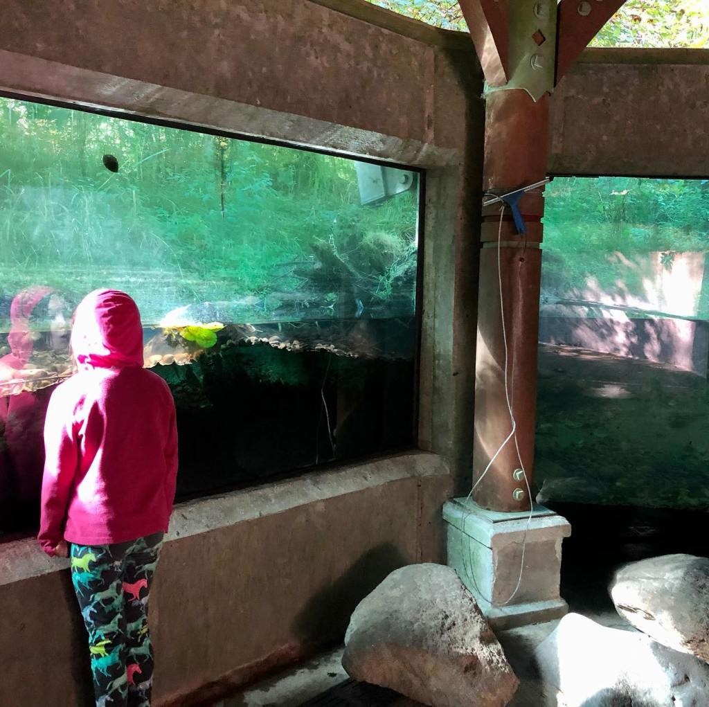
Hike 4 in little feet hiking: Mt. Hood: Wildwood Recreation Area Trails

The Wildwood Recreation Site in Welches is such a neat place. If you visit in the fall, you will definitely see changing falls colors, but you are also likely to meet some small fry at the fish viewing window and see salmon spawning in the Salmon River from late August through November. This hike is great for all ages.
Hike 8 in little feet hiking: Mt. Hood: Salmon River Trail

The 4 mile out-and-back hike on the Salmon River Trail is excellent in the fall. You’ll see spawning salmon, changing fall leaves, and lots of mushrooms. There are some drop-offs and the trail can be slippery when wet, so this hike is best-suited for more confident older hikers.
Hike 32 in little feet hiking: Mt. Hood: Lookout Mountain

Lookout Mountain is one of my favorite hikes around. In addition to volcano views of Mt. Hood, Mt. Rainier, Mt. Adams, Mt. Jefferson, and Mt. St. Helens, a visit in the fall will allow you to see western larch trees up close on the drive to the trailhead, and also in the distance from the top of the mountain. These deciduous conifers only grow on the east slopes of our PNW mountains and the needles change to a golden yellow starting mid-October before dropping off completely. Be sure to visit this one in early to mid-October before snow closes the road. This hike is best for older kids who can handle trails with steep drop-offs.
Hike 41 in little feet hiking: Mt. Hood: Lost Lake Lakeshore/Old Growth Loop

Lost Lake is a family favorite for fall hiking and camping (open through mid-October). The lake trail is flat and offers excellent views of Mt. Hood and changing fall colors. You can even rent boats on-site through the middle of October. This hike is appropriate for all ages, but littles will need help staying out of the lake and crossing campground roads.
Hike 6 in little feet hiking: Columbia River Gorge: Cape Horn
One of my favorite places to hike in the fall is Cape Horn on the Washington side. It’s so close to town and the fall colors are amazing…unfortunately many of the trails around Cape Horn are not kid-friendly due to drop-offs and cliff top viewpoints with no barriers. My first book outlines an easy and flat 1-2ish mile round trip hike that takes you to an awesome overlook with barrier walls. My Gorge book includes a longer and steeper (but not too steep) 3 mile hike that takes you to multiple viewpoints and through a neat tunnel (you can see some of the viewpoints and the tunnel on a shorter, less steep option too). Both are more kid-friendly (there are still risks and caution will need to be used near roads and cliffs) but you won’t find either of these kid-specific hiking routes described anywhere else.
Hike 9 in little feet hiking: Columbia River Gorge: Latourell Falls
This 2.2 mile hike takes you past several waterfalls and is one of the few kid-friendly Gorge trails not impacted by recent wildfires. In the fall, the changing colors are magnificent and so are the mushroom sightings. There are some drop-offs and the trail can be quite slippery when wet.
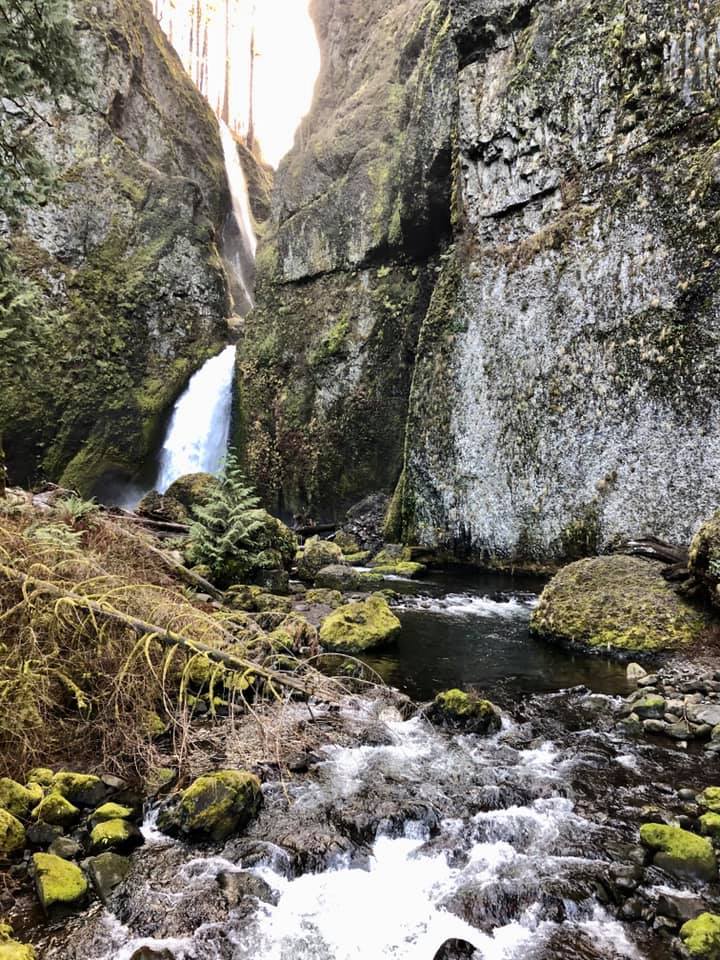
Hike 18 in little feet hiking: Columbia River Gorge: Ruckel Creek Falls

One of the best places in the area to see salmon spawning is in Eagle Creek by the Cascade Salmon Hatchery. I don’t think the infamous Eagle Creek trail is safe for most kids, but I’ve crafted a more kid-friendly hike starting at this trailhead and passing one of my favorite salmon spawning viewing spots. The best time to see salmon spawning here is late-September to mid-October. This hike is okay for all ages but littles will need help staying out of the creek, walking through the parking lot, getting to the bottom of the waterfall, and not falling over the bridge above the waterfall.
Hike 21 in little feet hiking: Columbia River Gorge: Pool of the Winds and Little Beacon Rock

The hike to Pool of the Winds is one of my favorite trails, but it can be hard to hike in the summer due to its popularity. As we move into October and November, the trails should be less busy and it should be easier to find a parking spot so you can get those amazing Hamilton Mountain and waterfall views. This hike’s elevation gain can be challenging on little legs and there are some drop-offs, so I recommend this hike for sure-footed hiker kids.
Hike 32 in little feet hiking: Columbia River Gorge: Starvation Creek State Park

I love the Columbia River Highway Trail heading west from Starvation Creek State Park because of its lovely waterfalls and it’s accessibility. The trail is paved, making it okay for strollers and even bicycles. As we move into the rainy season, the waterfalls will get fuller and colorful leaves will drop to the ground. It can be quite noisy due to the interstate, FYI. This hike is appropriate for all ages.
Hike 37 in little feet hiking: Columbia River Gorge: Catherine Creek Arch Loop

On the west side of the Columbia River Gorge, most of the leaves we see changing and falling come from big-leaf maple trees. On the east side, the most dominant deciduous tree is the mighty white oak tree. While hiking along the Catherine Creek trail in October and November, you’ll be struck by the contrast of the brown/orange oak leaves against the blue sky (because it is sunnier there than it is on the west side). This hike is best for older hikers due to elevation gain, drop-offs, and rattlesnakes (staying on the trail is the best way to avoid them).
Hike 3 in little feet hiking: Portland Metro: Wapato Access Greenway Loop

This trail on Sauvie Island is excellent in fall. On a typical hike in fall, you should see birds, caterpillars, frog, snakes, and maybe even some deer or crickets. If you visit in October, I highly recommend following your hike up with a trip to one of the island’s wonderful pumpkin patches. This hike is okay for all ages, but littles will need help near water.
Hike 8 in little feet hiking: Portland Metro: Lacamas Park
Lacamas Park is lovely in the fall with lots of falling colorful leaves. There are many trails here, but my book outlines a 1.4 mile and 2.5 mile loop depending on how far you’d like to hike. Highlights include the lake, the dam, and some very cool rocks!
Hike 13 in little feet hiking: Portland Metro: Reed Lake

You don’t hear much about the hike around Reed Lake, but its an absolutely lovely place for a hike and nature connection. My favorite part of hiking here is the opportunity to see wildlife up close. The City of Portland and Reed College have been working tirelessly over the years to restore Reed Lake and Crystal Springs Creek to its former, healthier self. Because of this, last October (while scouting for the Portland book), my daughter and I watched an otter eat a fish in the lake. 3 miles from downtown Portland! I can’t guarantee an otter sighting, but as this area gets healthier and more salmon return to the area in fall, your chances get better every year. Learn more about the restoration work and the hike itself in my Portland book. This hike is okay for all ages, but littles will need help near water and when walking on the road.
Hike 18 in little feet hiking: Portland Metro: Oxbow Regional Park

Oxbow Regional Park is known for its fall salmon viewing, as well as its beautiful forest. My book outlines several hikes you can do, but this brochure is the best for understanding the annual salmon run. When you visit, be sure to leave enough time for kids to play on Oxbow’s two playgrounds. This hike is okay for all ages, but littles will need help with road crossings and staying out of the rushing and dangerous Sandy River.
Hike 27 in little feet hiking: Portland Metro: Springbrook Park

Springbrook Park has 1.2 miles of flat trails that are perfect for all ages. The park is full of big-leaf maple trees, and those trees will certainly drop large yellow leaves in the fall. Be sure to leave some time for kids to play on the nature play area inside the park.
Hike 39 in little feet hiking: Portland Metro: Hoyt Arboretum – Deciduous Loop

Hoyt Arboretum is one of the best places in the area to check out the changing seasons, especially the change from summer to fall. The arboretum’s massive deciduous tree selection is sure to put on a great show every October and November. Check out the website for seasonal activities and little feet hiking: Portland Metro for several kid-friendly loops through these changing trees. This hike is great for all ages.

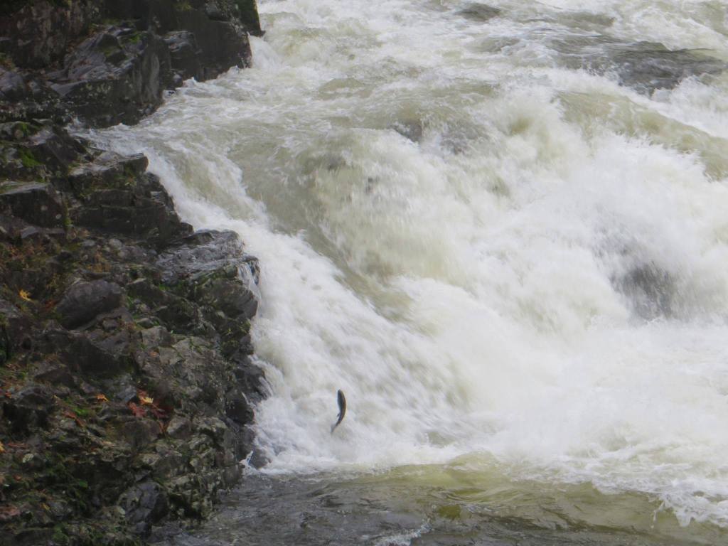
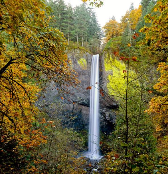
One of the most amazing natural wonders we encounter in the Pacific Northwest is the annual fall salmon run. Salmon need cold, clean water and large amounts of gravel or sediment to lay their eggs (spawn), which is why you’ll encounter them in some of our local creeks and rivers. Salmon spawn at the end of their lives – they spend 3 or 4 years out in the ocean before swimming back to the freshwater area where they were born. Watching fish complete this instinctual cycle is a sight to behold, and thankfully there are some kid-friendly places in the Portland-Vancouver area where families can witness this wonder.
Below is a list of the best places to take kids to see salmon spawning in the fall. Be sure to pick up a copy of the relevant little feet hiking guide to give you the best information for a safe, educational, and fun salmon-watching adventure.
P.S. Salmon poisoning is a thing for dogs. Look into this and keep dogs away from spawning areas for their safety.

Lucia Falls Regional Park
Wahclella Falls

Ruckel Creek
Oxbow Regional Park
Barlow Wayside

Wildwood Recreation Area

Old Salmon River

Salmon River Trail
Which spot will you visit first?
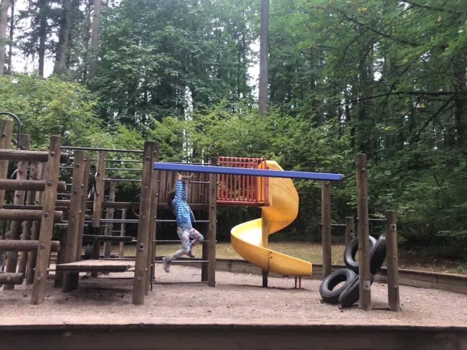
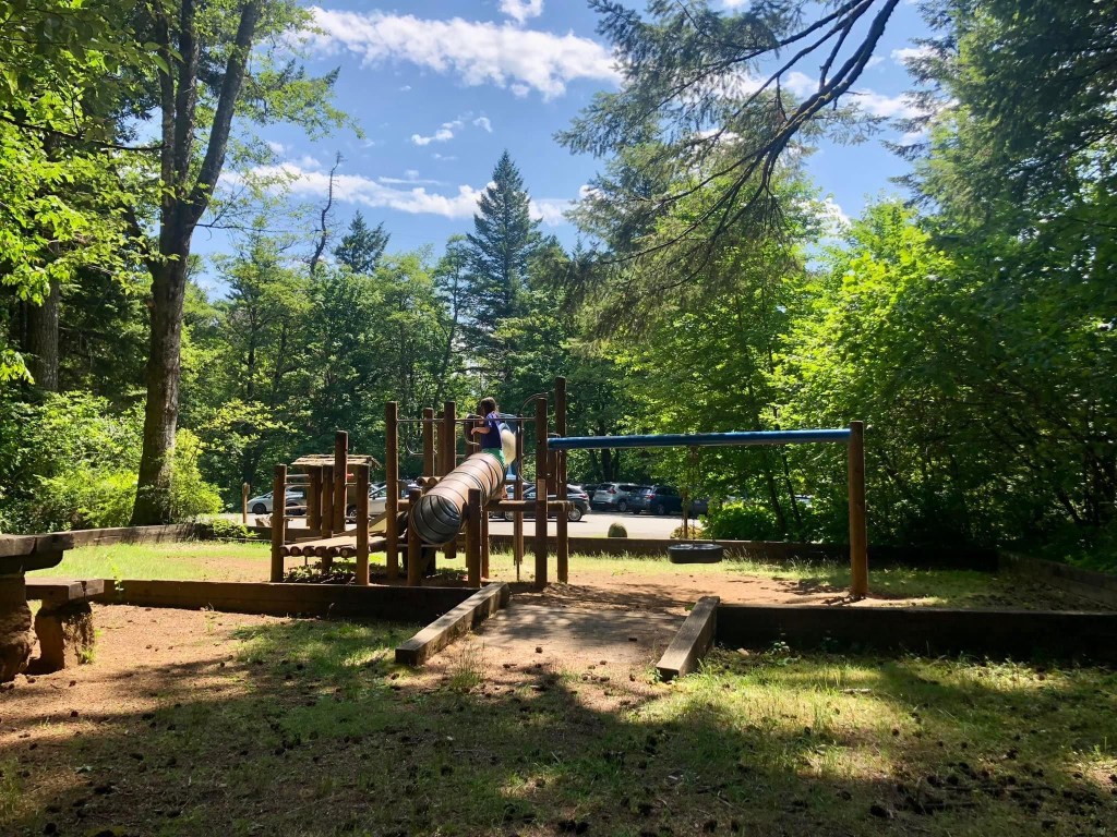
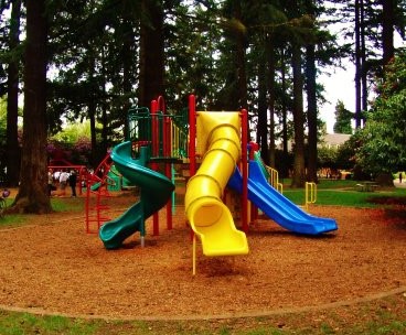
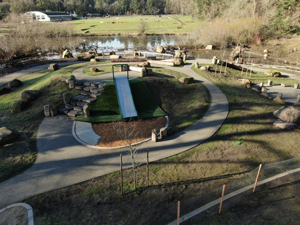
Have you ever hiked with a kid who just didn’t want to hike? It happens. In my five hiking guides, I give you a lot of general and hike-specific ideas to motivate your kids to keep hiking. However, after 10 years of hiking with kids of all ages, the most tried-and-true motivator that I’ve found (other than ice cream) is PLAYGROUNDS!
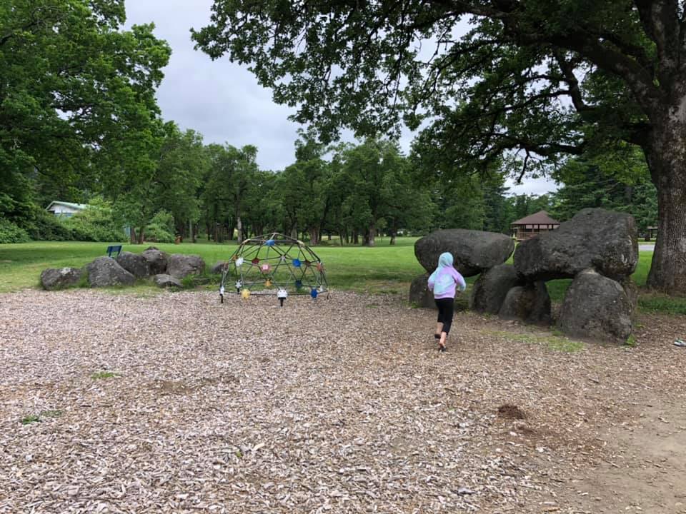
After going through all 5 of my kids hiking guides, I’ve identified 22 hikes, within 50 miles of Portland (Oregon) and Vancouver (Washington), that have playgrounds along the trail, at the trailhead, or within a few miles of the trailhead. Better yet, my 10 year old (the original littlefoot) sat down with me to rank the top 10 playgrounds in her opinion (she has visited all of them). You can find that post here. Below you will find the remaining 12 playground hikes!
12 MORE PLAYGROUNDS (AND THEIR HIKES)
Tickle Creek


Mt. Tabor

Cooper Mountain Nature Park


Oxbow Regional Park


Lower Marble Creek Falls


Battle Ground Lake

Pool of the Winds

Hamilton Island


Campen Creek Greenway


Oaks Bottom

Iron Mountain

Ridgefield National Wildlife Refuge


Which playground, I mean hike, will you choose first??
The heat is here and people will be flocking to our local waterways. In addition to being crowded, our waterways aren’t the safest places during the rapid snowmelt that comes with our first few heat waves of the year. The water can be cold and fast-moving, and many places do not have lifeguards available. So how do you keep your kids active during a heat wave? The awesome thing about our area is that we have so many amazing forests that can keep us cool on the hottest days. Did you know that shady forests can keep us cool through what is known as the process of evapotranspiration?? While forests can help keep you cool, you will still need to take it easy and keep an eye out for signs of heat exhaustion or stroke. Hitting the trail in the morning and bringing along extra water and sun protection is helpful too.
Below are some suggestions of hikes that should be shady, less-crowded, and keep you away from the big bodies of water. If you are going near any body of water, it is good to brush up on your water safety skills and assess the risks for your entire family before enjoying any water. Even small creeks can present issues for certain kids. Be safe, and access water on the following hikes at your own risk.
From my first guide little feet hiking:
-Salmon-Morgan Creeks Natural Area (there is a small creek on this hike)
-WSU Cougar Trails (there is a small creek on this hike)
-Whipple Creek (there is a small creek on this hike)
-Volcano View Trail (need Ape Cave Parking reservation)
-Whistle Punk Trail
-Saddle Dam (there is a small creek on this hike)
-Goat Marsh Lake (the lake isn’t for swimming and you may encounter mosquitoes)
-Summit Springs (you cross a few creeks early on in the hike)
-Bells Mountain Trail from Cold Creek Day Use Area
From my second guide little feet hiking two:
-Columbia Springs
-Fort Cascades Historic Site (stay on the trail to avoid the Columbia River)
-Lewis River Trail (the trail comes close to the river at times; the river may be shallow enough in spots for water play)
-Cedar Flats Natural Area
-Moulton Falls Trail from Hantwick Road (there is a small creek near the trailhead)
-Pacific Crest from Trout Creek (the creek may be low enough for some creek play)
From my third guide little feet hiking: Mt. Hood:
-Barlow Wayside (there is a small creek here)
-Lost Creek (there is a creek, but it shouldn’t be so rushing that it carries you away)
-any of the three Lost Lake hikes in my book (the lake has swimming areas and boat rentals)
-Catalpa Lake (bring mosquito repellant)
-Still Creek Trail (there is a large creek at the turnaround point)
-Pioneer Bridle Trail
-Hidden Lake
-Little Zigzag Falls (the trail runs along a creek)
From my fourth guide little feet hiking: Columbia River Gorge:
-Larch Mountain Environmental Education Site (there is a small creek here)
-Larch Mountain Summit
-Nellie Corser Wildlife Area (there is creek access here, but it shouldn’t be so rushing that it carries you away)
-Dry Creek Falls (there is creek access here, but it shouldn’t be so rushing that it carries you away)
-Emerald Falls (there is creek access here, but it shouldn’t be so rushing that it carries you away)
-Skamania Lodge Trails
-Fort Cascades (stay on the trail to avoid the Columbia River)

From my fifth guide little feet hiking: Portland Metro:
– Central Forest Park Loop
-Reed Lake (there is a little creek that runs through the west half of the trail system)
-Whipple Creek
-Scouters Mountain
-Tickle Creek (there is a small creek that runs along the trail)
-Mt. Talbert
-Tryon Creek
-Hopkins Demonstration Forest (there is small creek access here)
-Springbrook Park
-Hyland Woods Natural Area
-Tualatin Hills Nature Park
STAY COOL AND SAFE OUT THERE!
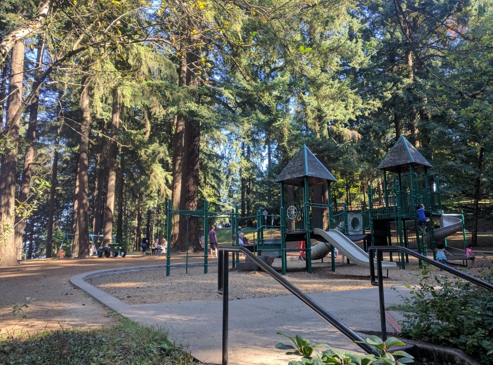
Have you ever hiked with a kid who just didn’t want to hike? It happens. In my five hiking guides, I give you a lot of general and hike-specific ideas to motivate your kids to keep hiking. However, after 10 years of hiking with kids of all ages, the most tried-and-true motivator that I’ve found (other than ice cream) is PLAYGROUNDS!
I have gone through all five of my books, and I’ve identified 22 hikes, within 50 miles of Portland (Oregon) and Vancouver (Washington), that have playgrounds along the trail, at the trailhead, or within a few miles of the trailhead. Better yet, my 10 year old (the original littlefoot) sat down with me to rank the top 10 playgrounds in her opinion (she has visited all of them).
Below, you will find these top 10. Click here for the remaining 12!
TOP 10 PLAYGROUNDS (AND THEIR HIKES) ACCORDING TO LITTLEFOOT
MAC Trail


Marshall Park


Canemah Bluff


Vancouver Lake North Trail


Fairgrounds Connector Trail


Round Lake Trail


Dry Creek Falls


Jackson Bottom Wetlands


Washougal Waterfront Trail


Lewisville Park


Which playground, I mean hike, will you choose first??

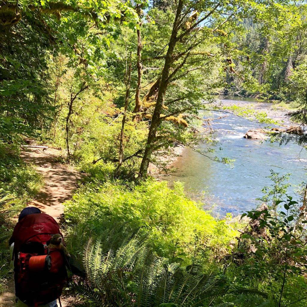
The Columbia River Gorge is amazing year-round, but summertime seems to be most people’s favorite time to visit. The Gorge is very busy in the summer, especially on weekends, so it is best to visit in the early morning, late afternoon, or weekdays. You can also try out some lesser-known hikes and try to avoid the crowds (more on that below). It can be hard to know which hikes are appropriate for kids, especially since there are so many online resources labeling cliffy or steep hikes as kid-friendly. I’ve been hiking in the Gorge for over 15 years, and my daughter has been hiking there since she was a toddler….we’ve done the research and scouting for you!
While most of the 50 hikes in my kids Gorge hiking book, little feet hiking: Columbia River Gorge, can be hiked in summer, some are better than others. I’ve picked the must-do summertime hikes from my book, and listed them below. For the best information, including almost all the details you need for a safe and fun family hike, pick up a copy on Amazon or at Vintage Books before hitting the trail.
Pro-tips for hiking in the summertime in the Columbia River Gorge:

Latourell Falls

Larch Mountain Environmental Education Site

Emerald Falls

Starvation Creek State Park

St. Cloud Day Use Area

Larch Mountain

Nellie Corser Wildlife Unit

Hood River Waterfront Trail

Dry Creek Falls

Nick Eaton Falls

Catherine Creek Interpretive Trail

Mosier Tunnels
Hope you found this helpful! Now go out and enjoy making some summertime family memories!
